Bras d'Or and the south
Crossing the causeway and the Ceilidh coast
Most visitors arrive on Cape Breton across a single rock causeway. Turn north, not east, and the west coast unrolls in sandy beaches, fiddle halls and green hills.
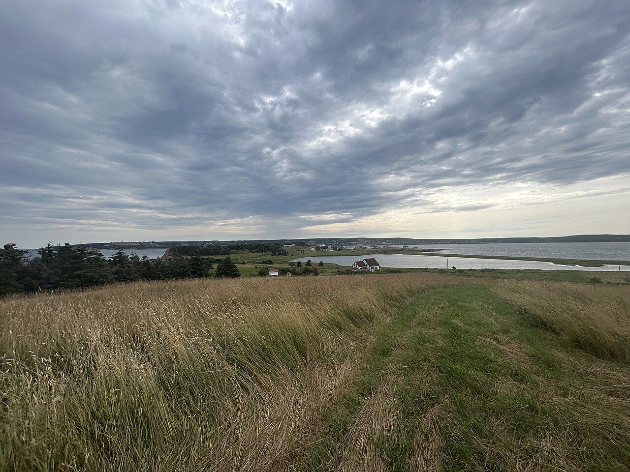 Photo by Chris3435s; CC0 1.0 (source file)
- Getting there
- Trans-Canada to the causeway, then Route 19
- Bring
- Swimsuit, towel, sunscreen, an evening jacket
- At sea
- The coast faces the gulf, with sunsets over the water. Sea temperatures peak in August, and onshore winds can bring surf and rip currents.
- From Chéticamp
- Port Hood is about 90 minutes south
For most travellers, Cape Breton begins at the Canso Causeway. You drive off the mainland of Nova Scotia, across a long embankment of rock over the Strait of Canso, and you are on the island. Most traffic heads east toward the Bras d'Or and Sydney. Turn left instead, onto the road that follows the west coast north, and you enter a stretch of the island known for warm-water beaches, Scottish music and long views over the gulf.
The Canso Causeway
Until the 1950s, everything crossing to Cape Breton by land route went by ferry across the Strait of Canso, including the railway, whose trains were carried on ferries. The causeway, opened in 1955, changed that. It is a solid embankment of rock, roughly a kilometre and a half long, built across one of the deepest straits in the region, and at the time it was among the deepest causeways in the world. Rock for it was blasted from Cape Porcupine on the mainland side, where you can still see the scarred hillside.
Because the causeway closed the strait, a canal with a lock and a swing bridge was built at the island end to let ships pass. When the bridge swings open for a vessel, traffic stops and waits, sometimes for a while. The visitor information centre at Port Hastings is a good first stop for maps and current advice.
The causeway also had effects on the strait itself, changing currents, ice and fish movement, and the debate over those effects has continued for decades. For travellers, it simply marks the start of the island.
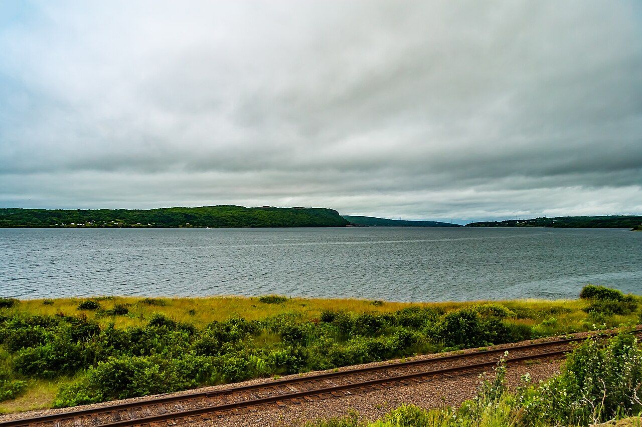 Photo by Michel Rathwell from Cornwall, Canada; CC BY 2.0 (source file)
The Ceilidh Trail
From Port Hastings, Route 19 runs north along the west coast to Margaree Harbour, where it meets the Cabot Trail. This route is promoted as the Ceilidh Trail, and the name fits: the communities along it, from Judique to Inverness, are the heartland of Cape Breton's Scottish fiddle tradition. In summer, community halls and churches host ceilidhs, square dances and concerts, often several times a week, and visitors are welcome.
The road itself is quieter than the Cabot Trail, with rolling farmland, long views over the water and small fishing harbours. It suits a slow day, stopping at beaches and lookouts, rather than a fast transit. Judique, a short way north of the causeway, has a centre devoted to Celtic music, with exhibits and live performances in season. The wider story of the music and language is told in Gaelic Cape Breton and the fiddle.
Port Hood and its beaches
Port Hood is a small village facing the gulf, with a string of sandy beaches along its shore and Port Hood Island lying just offshore. The beaches here are among the most popular on the island, and the water in late summer is often noticeably warmer than on the Atlantic side of Cape Breton. The shallow, sandy bottom and the gulf's summer warmth combine to make swimming here more comfortable than many visitors expect from Nova Scotia.
The village grew up on fishing and later coal, with mining along this coast in the past. Today it is a quiet place in the off-season and lively in July and August, when families arrive for the beaches. Some beaches have parking, change areas and supervised swimming in season, while others are simple stretches of sand reached on foot.
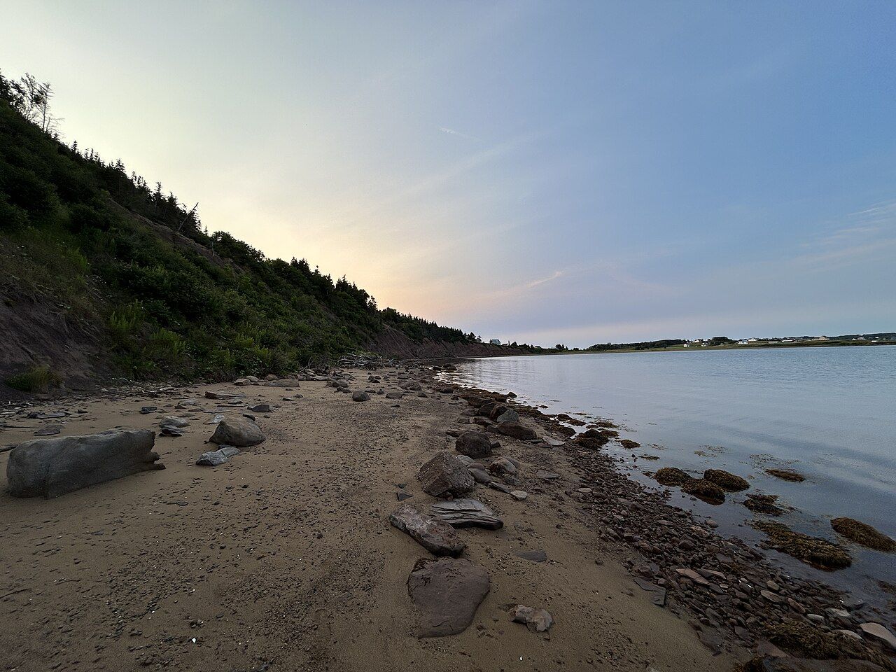 Photo by Chris3435s; CC0 1.0 (source file)
Further along the coast: The Margaree valley and its salmon river
Mabou
Further north, Mabou sits at the head of a long, sheltered harbour, surrounded by green hills. It is a centre of Gaelic culture and the fiddle tradition, with a strong musical community and regular dances in summer. The church and the old Gaelic heritage of the area give it a strong identity, and many well-known Cape Breton musicians have roots here.
Behind the village, the Mabou Highlands rise toward the coast, with hiking trails that climb over open ridges with views down to the gulf. These trails are maintained largely by local volunteers, and some are steep and rough.
Inverness and the long beach
Inverness, a former coal-mining town, is home to one of the longest sandy beaches in Cape Breton, running for kilometres north of the town along the gulf. A boardwalk follows part of the shore. In summer the beach draws swimmers and walkers, and on clear evenings the sun sets across the water. The town has a small museum on its mining past and a strong music scene in season.
The beach is open to the gulf, and waves can be strong. Rip currents are possible, particularly with an onshore wind. Swim only where conditions are calm, and keep a close eye on children.
Planning the drive north
From the causeway to Margaree Harbour is a drive of around two hours without stops, but a day or more is better. Stop for a swim at Port Hood, an evening ceilidh in Mabou or Judique, and a walk on the Inverness boardwalk. North of Inverness, the road passes through farmland and small communities before reaching the Margaree valley and the coast toward Chéticamp.
- Summer evenings are the best time for music; check local listings each week.
- Accommodation along the coast fills up in July and August.
- Fuel and groceries are available in the larger villages.
- Cell coverage is generally good near the villages but patchy in places.
Once you reach the Cabot Trail, you can decide on direction and pace using the notes in driving the Cabot Trail.
Back along the coast: Bras d'Or · Further on: Cabot Trail · Same stretch: Louisbourg, Bras d'Or · the whole coast · logbook