Bras d'Or and the south
The Fortress of Louisbourg
On a foggy point on Cape Breton's Atlantic coast, a French colonial town has been rebuilt stone by stone. Walk its streets, then the empty ground beyond the walls.
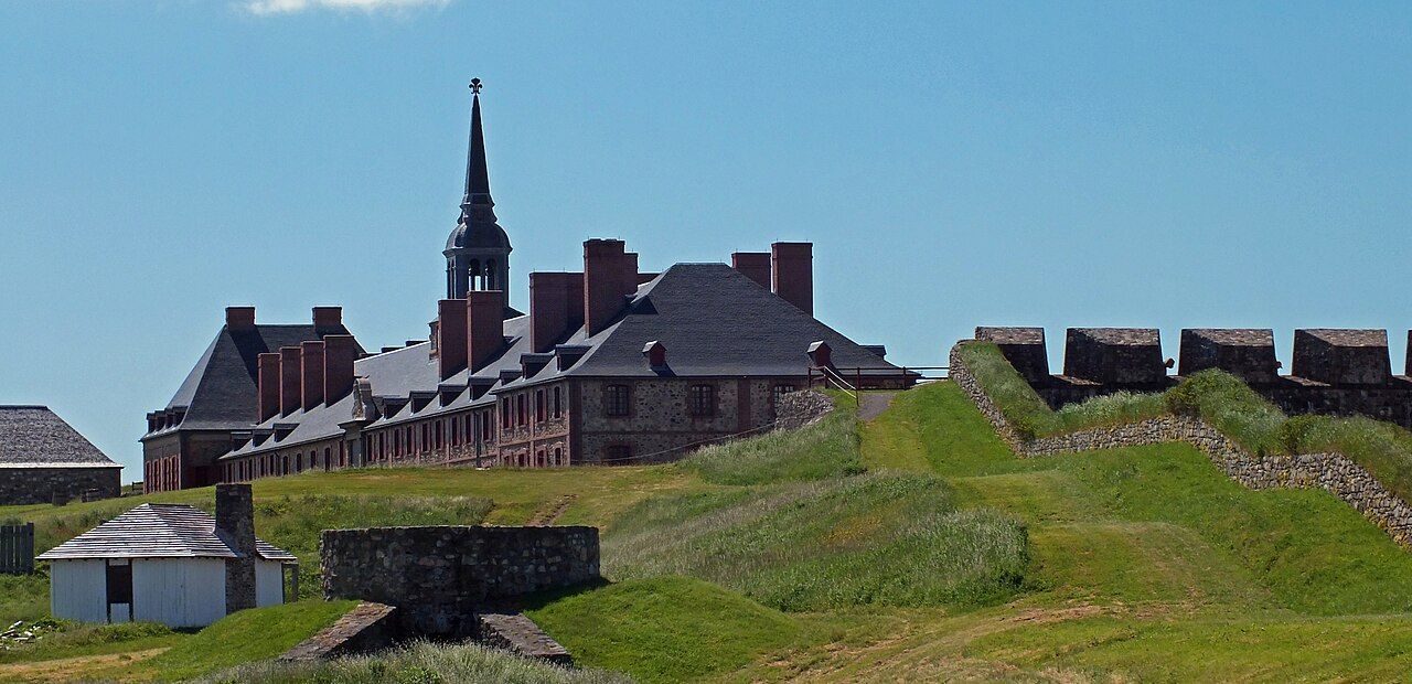 Photo by Lukester878; CC BY-SA 3.0 (source file)
- Getting there
- Highway east from Sydney to Louisbourg
- Bring
- Rain jacket, warm layer, comfortable shoes, curiosity
- At sea
- Louisbourg sits on the open Atlantic, cool and often wrapped in fog in early summer. Seas break hard on the rocky point after storms.
- From Chéticamp
- About three and a half hours east
The Fortress of Louisbourg sits on a low, rocky point at the eastern edge of Cape Breton, facing the open Atlantic. From the visitor centre a short bus ride takes you around the harbour to the walls, and then you are in an eighteenth-century French town: stone houses with steep roofs, a long quay, barracks, gardens and the bastion of a fortress that once guarded one of the busiest ports in North America. It is a national historic site run by Parks Canada, and a large part of it has been reconstructed on its original foundations.
It is worth a full day. It is also worth understanding what happened here, because the rebuilt town tells only part of the story.
Why France built here
In 1713 the Treaty of Utrecht ended a long European war, and France gave up mainland Acadia and Newfoundland to Britain. It kept Île Royale, the island now called Cape Breton, and Île Saint-Jean, now Prince Edward Island. France needed a base to protect its fishing fleets and the approaches to the St. Lawrence River and Quebec, and it chose a harbour on the island's east coast. The town was named Louisbourg after King Louis XIV.
The cod fishery made it rich. Every summer, fishing crews salted and dried cod on the beaches around the harbour, and the fish was shipped to France and the Caribbean. Ships came from France, New England and the West Indies, and Louisbourg became a major trading port. Over the following decades the French built an extensive system of walls, bastions and batteries around the town. It was a garrison and a colonial capital, with soldiers, merchants, fishing families, servants and enslaved people living within the walls.
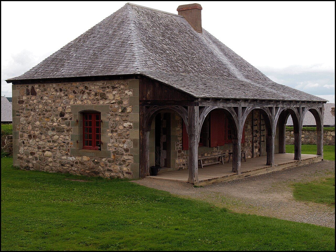 Photo by KenCLeBlanc; CC BY-SA 4.0 (source file)
The sieges of 1745 and 1758
For all its walls, Louisbourg fell twice. In 1745, during another war between Britain and France, an expedition of New England militia, supported by a British naval squadron, landed near the town and laid siege. They hauled cannon over marshy ground to the hills overlooking the walls and bombarded the town for weeks. The garrison surrendered after about seven weeks. Three years later, to the anger of New Englanders, a peace treaty handed Louisbourg back to France.
The second siege came in 1758, during the Seven Years' War. A much larger British army and fleet arrived, landed in heavy surf at Gabarus Bay despite French defences, and besieged the town through June and July. French warships in the harbour were burned or captured, the walls were battered, and the garrison surrendered in late July. The fall of Louisbourg opened the way for the British attack on Quebec the following year.
Afterwards, British engineers blew up the fortifications so that the place could never again serve as a French base. The French soldiers and many of the inhabitants were sent to France. The town was abandoned, its stones scattered or carried away. For nearly two centuries the site was grassy ruins by the sea.
For nearly two centuries the site was grassy ruins by the sea.
Rebuilding a town
In the 1960s, the Canadian government began one of the largest historical reconstructions in North America. Part of the motive was to bring work to Cape Breton as its coal mines declined, and many former miners learned old building trades for the project. Archaeologists excavated the ruins, historians worked through French archives, plans and drawings, and the reconstruction followed the original layout and methods as closely as possible.
About a quarter of the original town has been rebuilt, including the King's Bastion and its barracks, the governor's quarters, houses, storehouses, inns of the period and part of the walls and gates. The rest of the site, beyond the reconstructed area, remains as it was left: low grassy mounds, foundations and earthworks running out toward the shore. Walking those outer areas helps you see how big the town once was.
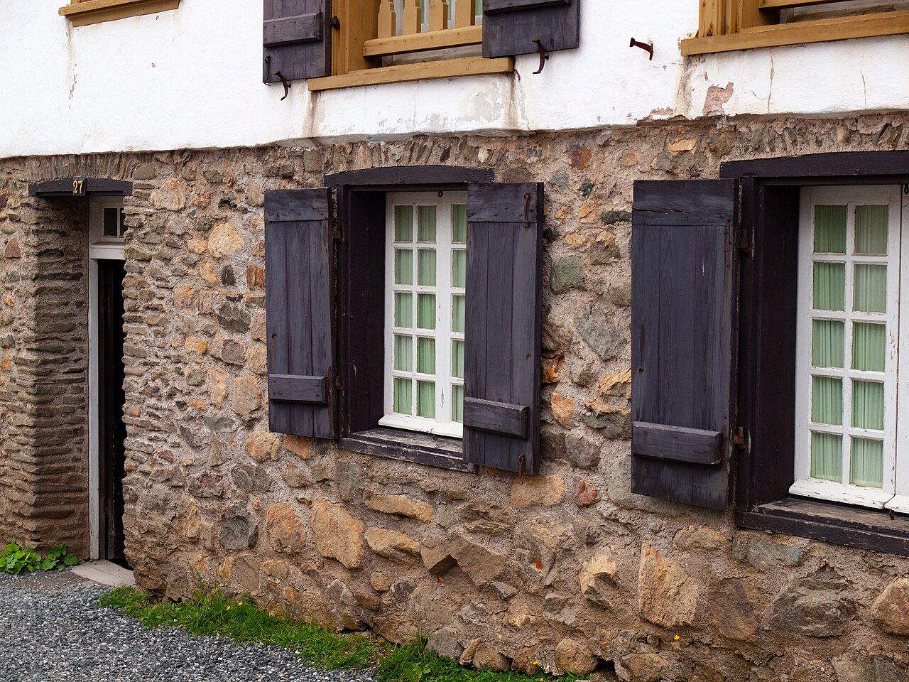 Photo by KenCLeBlanc; CC BY-SA 4.0 (source file)
Further along the coast: Unama'ki: the Mi'kmaw homeland
Living history inside the walls
In the main season, the town is brought to life by costumed interpreters representing soldiers, merchants, servants, fishing families and officials of the 1740s. They go about daily tasks, answer questions and explain how life worked in a French colonial town. You may see bread baked in a period oven, needlework, a small garden tended in the old way, and soldiers drilling. Musket and cannon firing demonstrations are held at set times.
Period-style food is served in some of the reconstructed buildings, based on recipes and accounts of the time, which gives an idea of what soldiers and townspeople ate. Exhibits in several buildings explain the archaeology, the sieges and the people who lived here, including the Mi'kmaq who were allied with the French, and the Acadians whose own history is told in Acadian life on the west coast.
- Allow at least half a day, and a full day if you want to see the exhibits and demonstrations.
- Opening dates, hours, programmes and fees vary through the year.
- Outside the main season, the site may be open with limited or no services, or closed.
- There is a lot of walking on uneven ground and cobbles.
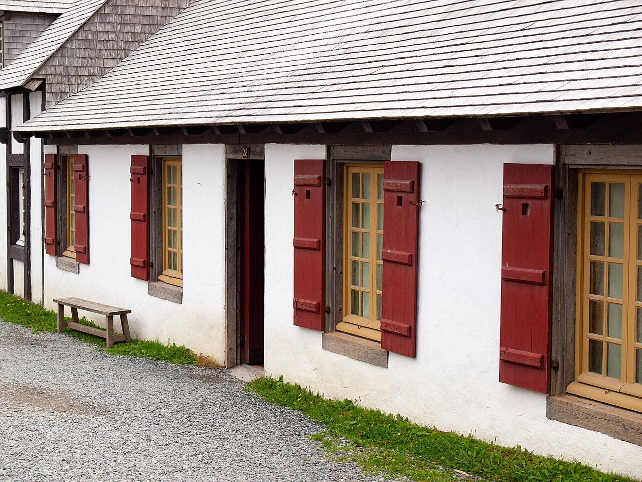 Photo by KenCLeBlanc; CC BY-SA 4.0 (source file)
Fog, the lighthouse and the coast
Louisbourg's weather is part of its character. The Atlantic coast here is cool, and fog banks often roll in from the sea, especially in early summer, sometimes lifting by afternoon and sometimes not at all. On a foggy day the town feels close and muffled, and the bastion and the harbour fade into grey. Bring a warm layer and a rain jacket even in July.
Across the harbour, the Louisbourg lighthouse stands on the site of the first lighthouse in what is now Canada, built by the French in the 1730s. The current tower is a later one. A coastal walking trail leads from the lighthouse along the rocky shore, with views back toward the fortress and out over waves breaking on the ledges. It is a fine short walk, though exposed and slippery in places, and you should keep back from the edges in rough seas.
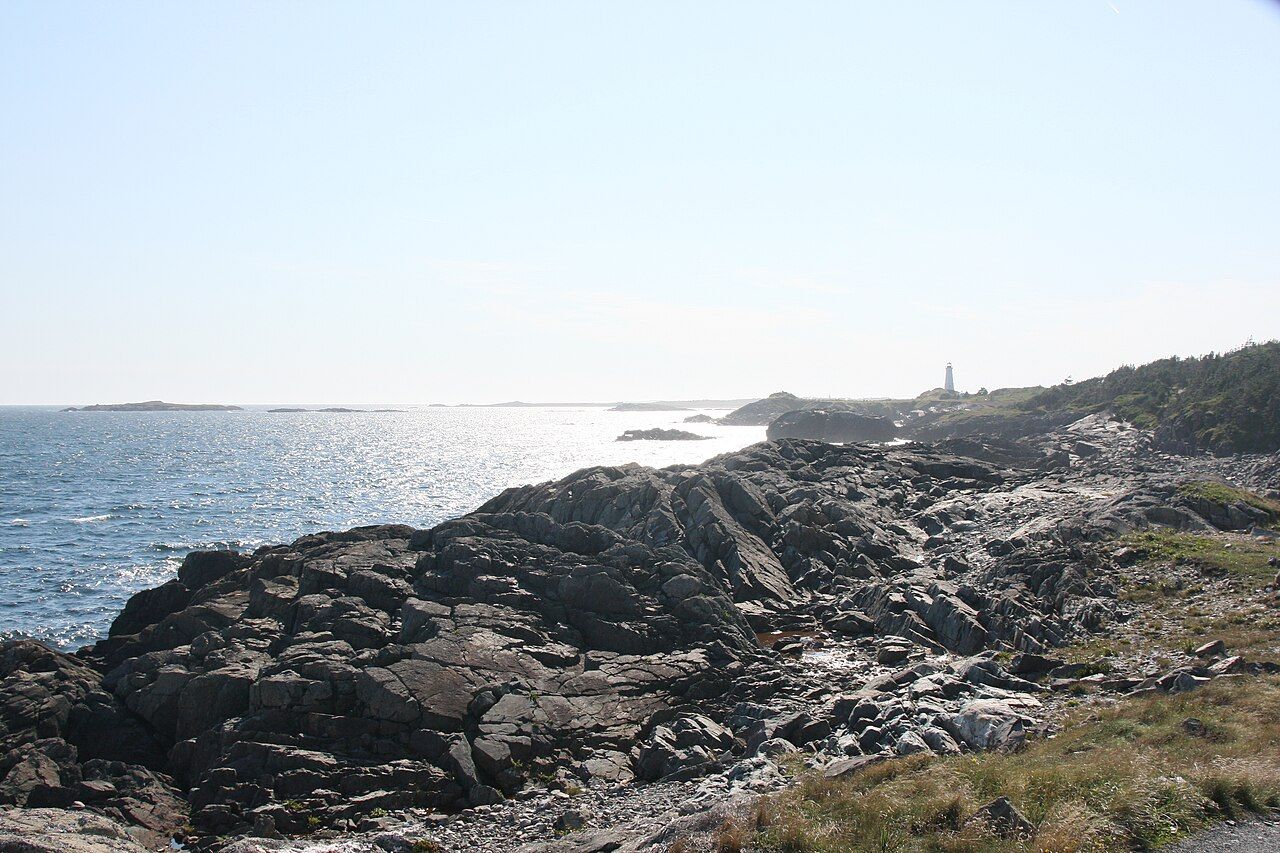 Photo by Ken Heaton; CC BY-SA 4.0 (source file)
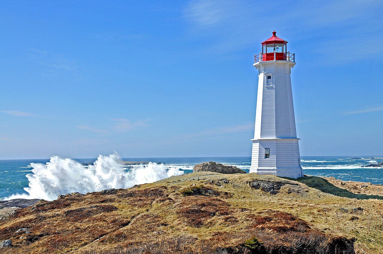 Photo by Dennis G. Jarvis; CC BY-SA 2.0 (source file)
The modern town of Louisbourg, a small fishing community, lies around the harbour between the fortress and the lighthouse, and has its own wharves and historical railway station museum.
Fitting it into a trip
Louisbourg is a long way from the Cabot Trail, about three and a half hours from Chéticamp, and most people visit it as part of a loop through the south and east of the island. It pairs well with a drive along the shores of the Bras d'Or, and with time around Sydney. Coming from the mainland across the Canso Causeway, you can reach it by way of the southern route along the lake.
The longer story of the island, older than the French and still living, is told in Unama'ki, the Mi'kmaw homeland. Seeing the fortress after learning a little of that history gives the stones a different weight.
Back along the coast: Unama'ki · Further on: Bras d'Or · Same stretch: Bras d'Or, Port Hood · the whole coast · logbook